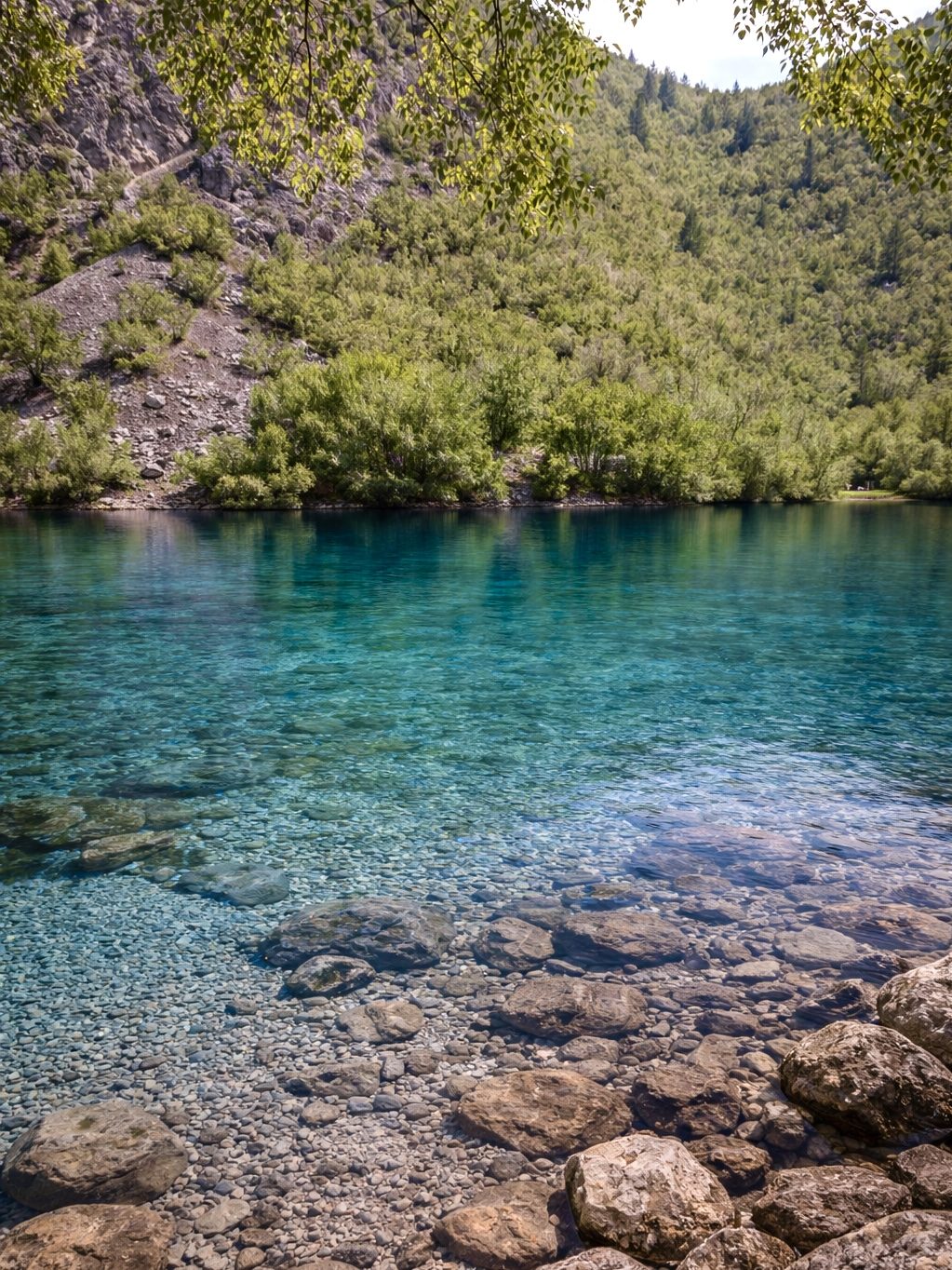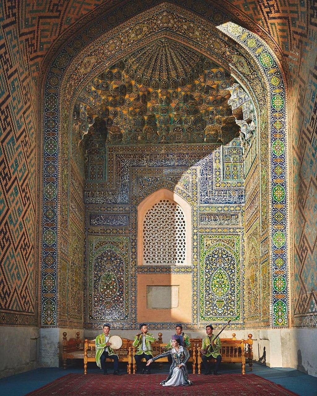

Hiking in Uzbekistan: where to walk, when, and how
Places in this article: Samarkand · Tashkent
From central Tashkent to the foot of Greater Mountains of the Western Tian Shan about 80 km from Tashkent: hiking in summer, skiing in winter, the Charvak reservoir nearby. Read more →, a 3,309 m peak, is about an hour and a half by car. Few capitals have mountains that size within a day trip, and Chimgan is only the closest of Uzbekistan's walking regions. Further on there are juniper forests above 2,000 m, stone villages where families put up walkers for the night, and canyons in the far south that see very few foreigners.
We live in Tashkent and walk these trails on our own weekends. This page brings it all together: where to hike, when, how hard it is, where you sleep, and which of our trips go there.
Hiking in Uzbekistan at a glance
| Region | Walking | Best months | Where you sleep |
|---|---|---|---|
| Chimgan and Did you know? A marmot found almost nowhere else on Earth Menzbier's marmot, the smallest marmot of the Palearctic, has the smallest range of its kind, in the Western Tian Shan at 2,000–3,600 m. It sleeps through winter from August or September until spring. Read more → | Day hikes, easy to hard | May–October | Mountain hotels, guesthouses |
| Nuratau | Village to village, easy to moderate | April–May, September–October | Family homestays, yurt camps |
| Zaamin | Forest and meadow trails above 2,000 m | Late spring to early autumn | Sanatorium, hotels, guesthouses |
| Baysun | Canyons and village paths, remote | Spring and autumn | Guesthouses, village homes |
Chimgan, Beldersay, Charvak and Ugam-Chatkal National Park
This is where Tashkent goes walking. Chimgan, Beldersay, Amirsoy and Lake Charvak lie 65–85 km from the city, inside the Ugam-Chatkal National Park: 668,350 hectares of the western Did you know? The tulip's family tree is said to begin in the Tian Shan Long before Ottoman gardens and Dutch bulb fields, wild tulips grew in Central Asia's mountains, and the Tian Shan is often named as their homeland. In April they flower on the slopes around Chimgan. Read more →, home to brown bears, wolves, mountain goats and more than 1,000 plant species.
The walking. Anything from two hours above the Chimgan resort at 1,600 m to a long day. Our regulars are the pass between Greater and Did you know? A wild tulip that grows nowhere but these mountains Tulipa butkovii is endemic to the western Chatkal Range. It was described from bulbs collected in 1959 on the slopes of Little Chimgan and flowers in April and May. Read more →, the Gulkam gorge (5–7 hours, with a rope in places) and the 38 m Paltau waterfall beyond Charvak. Route details are in our guide to the mountains near Tashkent. The park's highest peaks, Adelunga (4,301 m) and Beshtor (4,299 m), are for experienced mountaineers, not hikers.
Season. May to October. In July Chimgan averages 26.2 °C in the afternoon, against 35.9 °C in Tashkent. April is the wettest month, August the driest.
Getting there and sleeping. About 1.5 hours by car on the Tashkent–Gazalkent road, or a minibus from Buyuk Ipak Yuli Did you know? A metro designed to ride out a magnitude-9 earthquake The three original lines of the Tashkent Metro were built to withstand an earthquake of magnitude 9.0, and the tunnels lie unusually shallow, only 8–25 m below the street. Read more → station to Gazalkent and a taxi from there. Hotels and guesthouses stand at Chimgan, Beldersay and around Charvak. At Amirsoy the gondolas lift you to 2,290 m without the climb: see cable cars in Uzbekistan.
Permits. None for the foothills of Chimgan, Beldersay, Did you know? Mountain goats carved on rocks thousands of years ago Near the village of Khodjikent, about 70 km from Tashkent, more than 90 petroglyphs line the rocks above the Chirchik River, mostly mountain goats. The finest date from the 4th–3rd millennia BC. Read more → and Parkent. Valleys near the borders are different: some sites there need permission from local authorities, and that is paperwork we handle for our guests.
To go deeper, our Jeep Expedition: High Tashkent spends four days between Chimgan, the Pskem valley and the Ugam range, with each day's walk chosen by the weather.
Nuratau: village to village with homestays
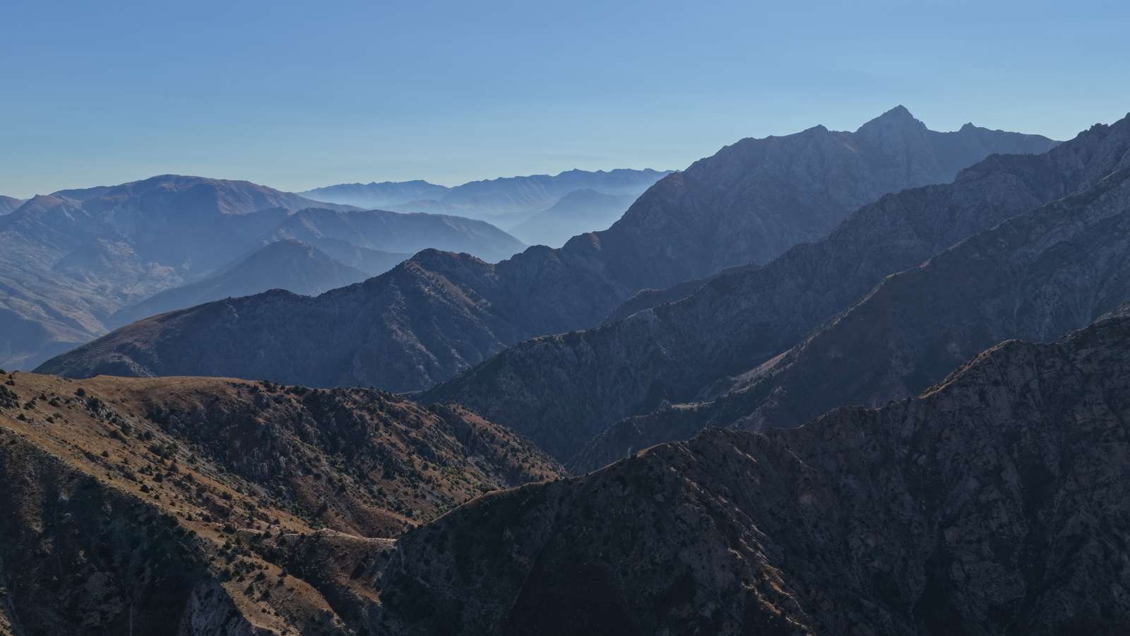
The Nuratau ridge runs for more than 170 km between the Samarkand–Bukhara road and Lake Aydarkul; its highest point, Mount Zargar, is 2,169 m. It is lower and drier than the Tien Shan, and the walking is about the villages: Sentob, Asraf, Hayat, Uhum, Majrum. Stone houses, walnut and fruit trees, and families who take in walkers.
The walking. Easy to moderate, on paths and dirt tracks between valleys. A typical leg, from Sentob past Majrum to Hayat, is about 16 km with some 500 m of climbing. Below Sentob a gorge holds Bronze Age petroglyphs, and the Nuratau reserve on the northern slopes protects about 1,700–1,800 The Kyzylkum, or Red Sands: the desert between the Amu Darya and Syr Darya rivers that the road and the railway cross on the way to Khiva. argali, a wild mountain sheep.
Season. April–May, when the slopes are covered in wildflowers, and September–October. In July nearby Navoi averages about 36 °C in the afternoon, which is hard going on open hillsides.
Getting there and sleeping. The town of Nurata is about 180 km from Samarkand and 175 km from Bukhara. You sleep in family homestays: simple rooms, home cooking, often a shared washroom. Many walkers add a night in a yurt by the lake; see our Aydarkul yurt camp guide.
Our Nuratau Mountains extension fits this into a classic route: a night with a family in Uhum, a guided morning hike, and on to Samarkand from Bukhara.
Zaamin National Park, the "Uzbek Switzerland"
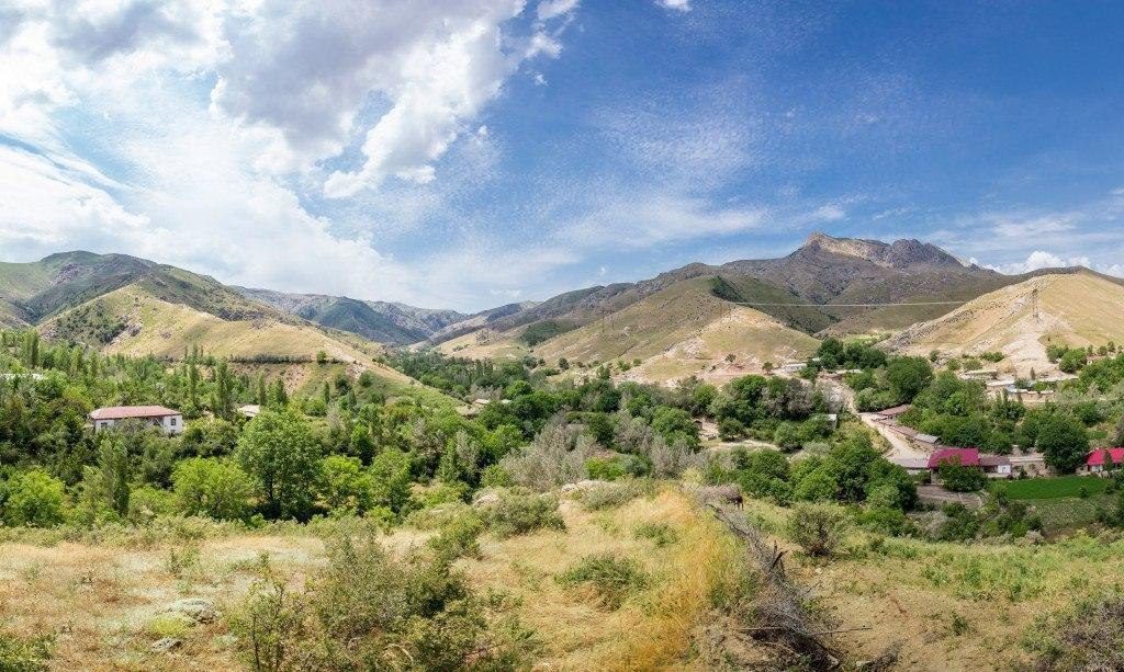
Zaamin lies on the northern slope of the Turkestan Range in Jizzakh region, on the border with Tajikistan. The park covers 23,429 hectares between 1,000 and 4,033 m. Its forests are juniper in three belts, a different species at each height, and in autumn the hazel and birch turn gold. Next door is the Zaamin State Reserve, which began in 1926 as the Guralash reserve, the oldest in Uzbekistan.
The walking. Moderate, on forest paths and meadows from about 2,000 m. Local landmarks include the Boboyongok walnut tree, the Sherbulak spring, the thousand-year-old juniper and the Uriklisoy valley. A cable car climbs from 1,961 to 2,491 m, so you can start high.
Season. The park is open all year. For walking we choose late spring to early autumn; in winter the upper slopes are under snow.
Getting there and sleeping. The nearest stations on the Tashkent–Samarkand line are Jizzakh and Dashtabad; from Jizzakh the park is 110 km by road. The Zaamin sanatorium stands inside the park, with hotels and guesthouses in the park and the villages around it. Park hours on weekdays are 12:00–20:00 in summer; at weekends 09:00–21:00; in winter it closes at 17:00.
Our four-day nature tour to Samarkand, Zaamin and Tashkent goes in by 4×4 from Samarkand, adds the Chortangi glass bridge, a cable-car ride and a guided hike, then returns to Tashkent on the Uzbekistan's high-speed train: Tashkent to Samarkand in 2 hours 30 minutes, Tashkent to Bukhara in about 4 hours. Tickets are tied to your passport. Read more → train.
Baysun and Surkhandarya: the wild south
Baysun sits at 1,217 m in a valley under the Baysuntau ridge, a spur of the Hissar Range in Surkhandarya. UNESCO lists the Cultural Space of Boysun District as intangible heritage, first proclaimed in 2001. Around it are walnut groves, juniper forest, alpine meadows, deep canyons and fossilised dinosaur tracks.
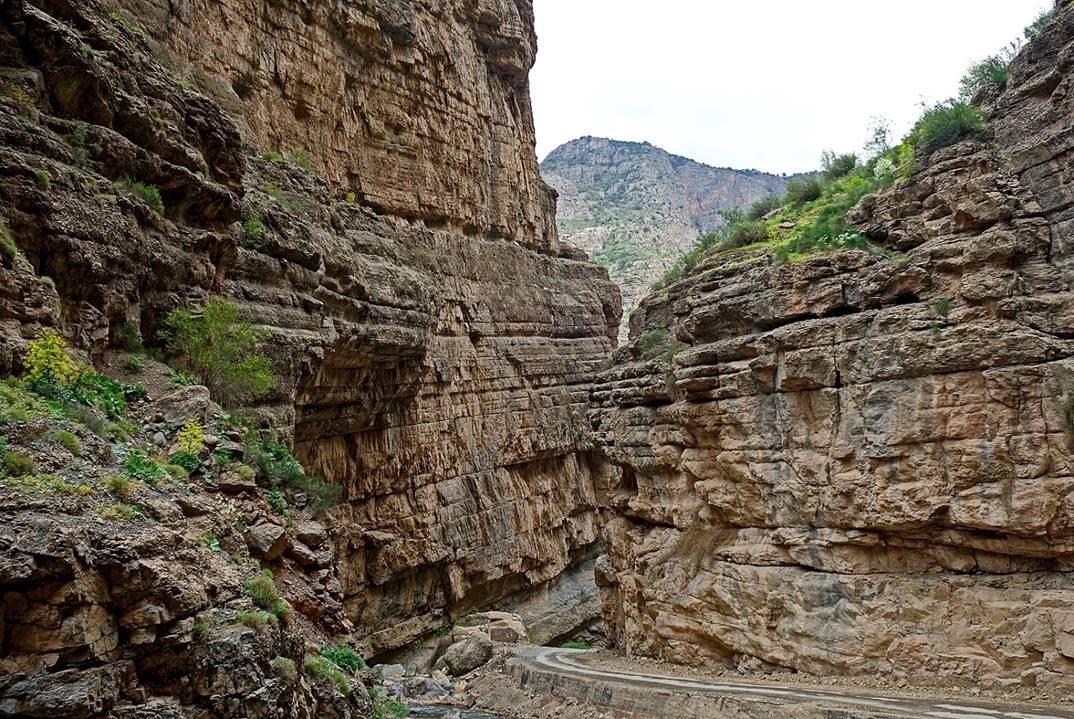
Derbent village, 15 km west of Baysun, stands at the mouth of a gorge that narrows to 15 m in places. Beyond it a road climbs to the Machay valley villages, and near Yukary Machay is the Teshik-Tash grotto, where a Neanderthal child's burial was found.
The walking. Moderate, with no hut network and few marked routes: here you walk with a local guide who knows the valleys. It suits people who have done Chimgan and want somewhere quieter.
Getting there and sleeping. Fly from Tashkent to Termez, then drive. You stay in guesthouses in Baysun and in village homes. Our Wild Expedition: Baysun — 6 Days starts and ends in Termez, crosses the Iron Gate pass at Derbent, spends three days in Baysuntau with treks picked by conditions, and finishes at the Sangardak waterfall.
Starting from Samarkand instead? The Seven Lakes in Tajikistan's Fann Mountains are just across the border: see our Jeep Expedition: Seven Lakes.
Seasons, gear and safety
- Spring (April–May) is green and full of flowers, but it rains: April is the wettest month at Chimgan. Autumn (September–October) is drier and steadier. In summer, go high. More in when to visit Uzbekistan.
- Altitude. Most hikes stay between about 1,200 and 2,500 m. The 4,000 m peaks are expeditions, not day walks.
- Water. Do not drink tap water, and treat stream water too. Carry enough for the day or a filter.
- Weather. It turns faster than in the city. Take a warm layer and a rain jacket even in July.
- Guides. Away from the resorts, take a local guide and tell someone your route. The emergency number everywhere is 112. More in safety and health.
- Gear. Broken-in boots, poles, sun hat and sunscreen, a head torch, cash for villages (cards and cash) and your passport: homestays and camps register you like a hotel (registration).
Not sure which region suits you? The tour finder filters our nature trips, or write to us and we will match a route to your dates and fitness.
In short
- Chimgan and Ugam-Chatkal: day hikes 1.5 hours from Tashkent, May to October, no permit for the foothills.
- Nuratau: easy village-to-village walking with homestays, best in April–May and September–October, often paired with a yurt night at Aydarkul.
- Zaamin: juniper forest and meadows above 2,000 m, a cable car and a sanatorium inside the park.
- Baysun: remote canyons and villages in the far south, always with a local guide.
- Bring layers, treat your water, carry your passport and save 112.