
Places in this article: Khiva · Tashkent
Karakalpakstan: Nukus, the Aral Sea and the desert fortresses — a travel guide
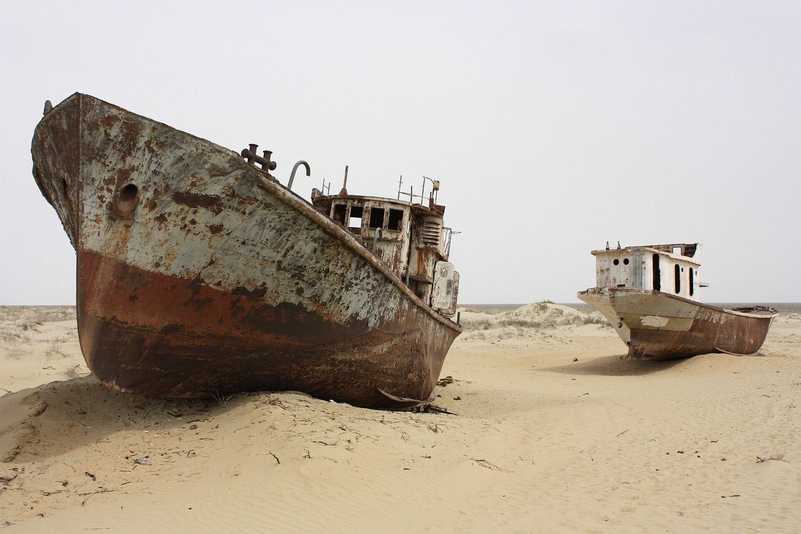
Did you know? A music festival is held among Muynak's old fishing boats Since 2018 the Stihia festival of electronic music, art and science has gathered in Muynak, once a port on the Aral Sea, right beside the ships left on the sand. It ends by burning a 10-metre installation of the word SEA. Read more → was once Uzbekistan’s only port. Today the water is about 150 km away, and the fishing boats still lie on the sand where the harbour used to be. That is the picture most people have of Karakalpakstan. It is the right picture, but only a small part of it: on the same trip you can see one of the great art collections of the 20th century, a hill of medieval tombs and clay fortresses more than two thousand years old.
We are a tour operator from Tashkent, and the far west is where we send travellers who have already seen Samarkand and Bukhara. This guide covers things to do in Karakalpakstan, what lies where, how to get to Nukus and how many days to plan. Each place has its own detailed article; here we put them on one map.
Karakalpakstan on the map
The Republic of Karakalpakstan is the north-west of Uzbekistan, and it is big: about 166,600 km², more than a third of the country. It lies on the lower course of the Amu Darya, where the river reaches its delta. The The Kyzylkum, or Red Sands: the desert between the Amu Darya and Syr Darya rivers that the road and the railway cross on the way to Khiva. desert runs to the east, the Did you know? Giant stone “arrows” on the Ustyurt plateau were hunting traps Along the Ustyurt cliffs run low stone walls called arans, laid out as arrows, triangles and even stars. Saiga and gazelles run along a wall rather than over it, so hunters steered herds into pens. They were used from the Bronze Age on. Read more → rises to the west, and in the north lies what remains of the .Did you know? Part of the Aral Sea is coming back In 2005 the 12-km Kokaral dike was completed to keep the Syr Darya's water in the North Aral Sea. The level rose faster than expected, the water grew less salty, and fish and fishing returned. Read more → The capital is Nukus.
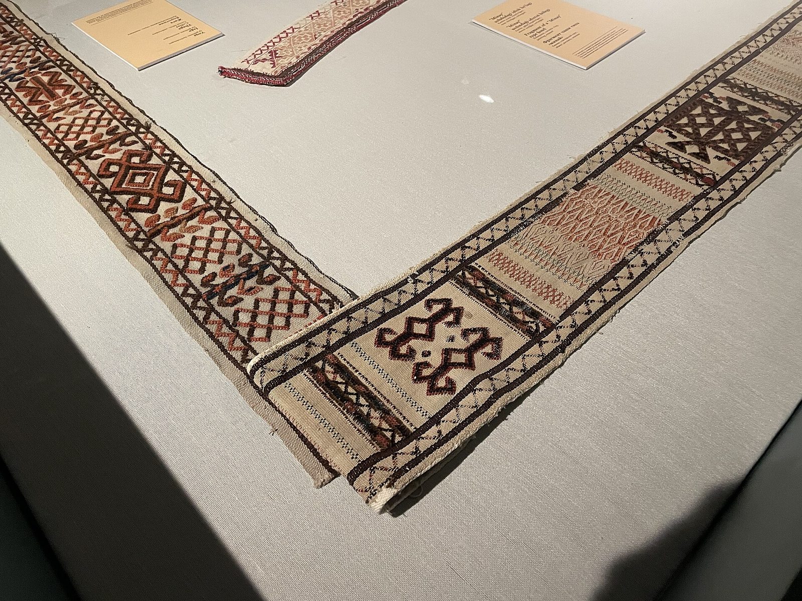
About 2.1 million people live here. Did you know? Karakalpak means 'black hat' The Karakalpaks, who gave Karakalpakstan its name, call themselves Qaraqalpaq: qara means black and qalpaq a hat. About 770,000 of the world's 900,000 Karakalpaks live in the republic, whose capital is Nukus. Read more → and Uzbek are both official languages, and in Nukus you will hear Russian too. Karakalpak is a Turkic language close to Kazakh, and the name of the people comes from two words, qara, “black”, and qalpaq, “hat”. The yurt, silver jewellery, embroidered costume and long epics passed down by storytellers, the zhyrau, are the heritage you will keep meeting here, in museums and at the table.
Nukus and the Savitsky Museum
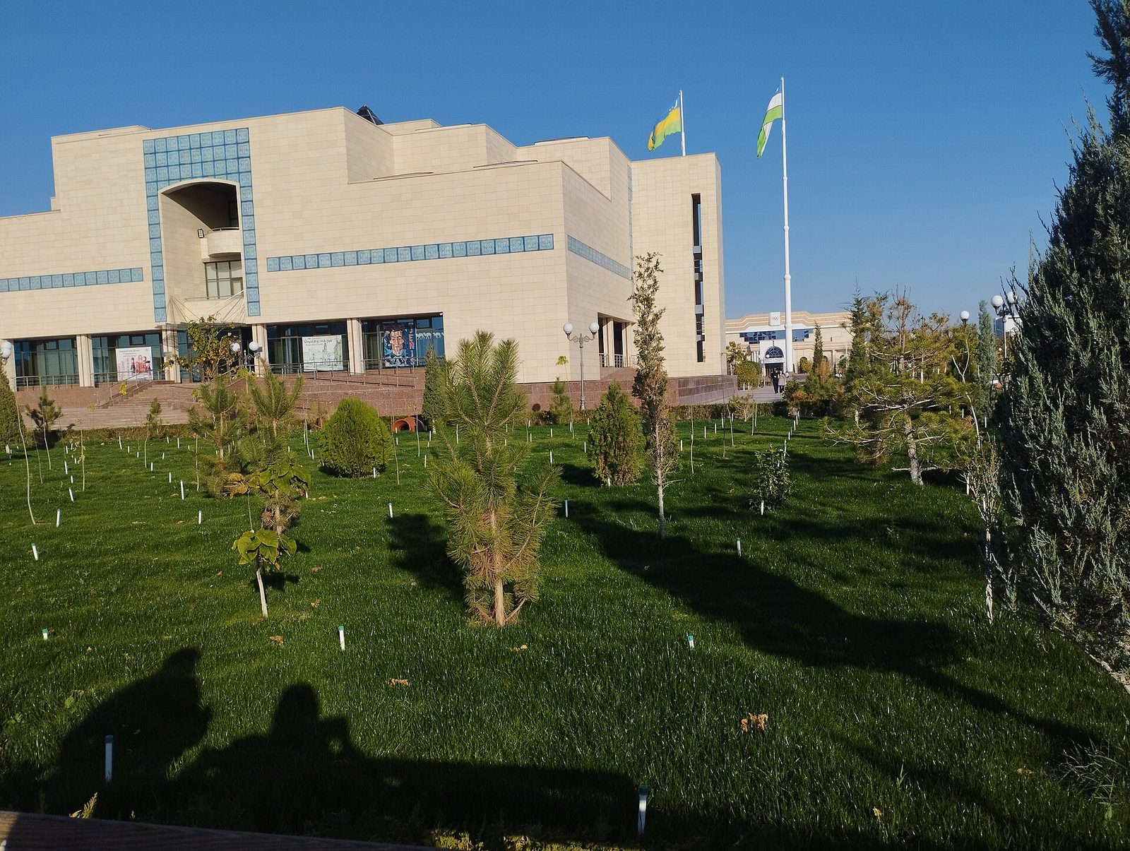
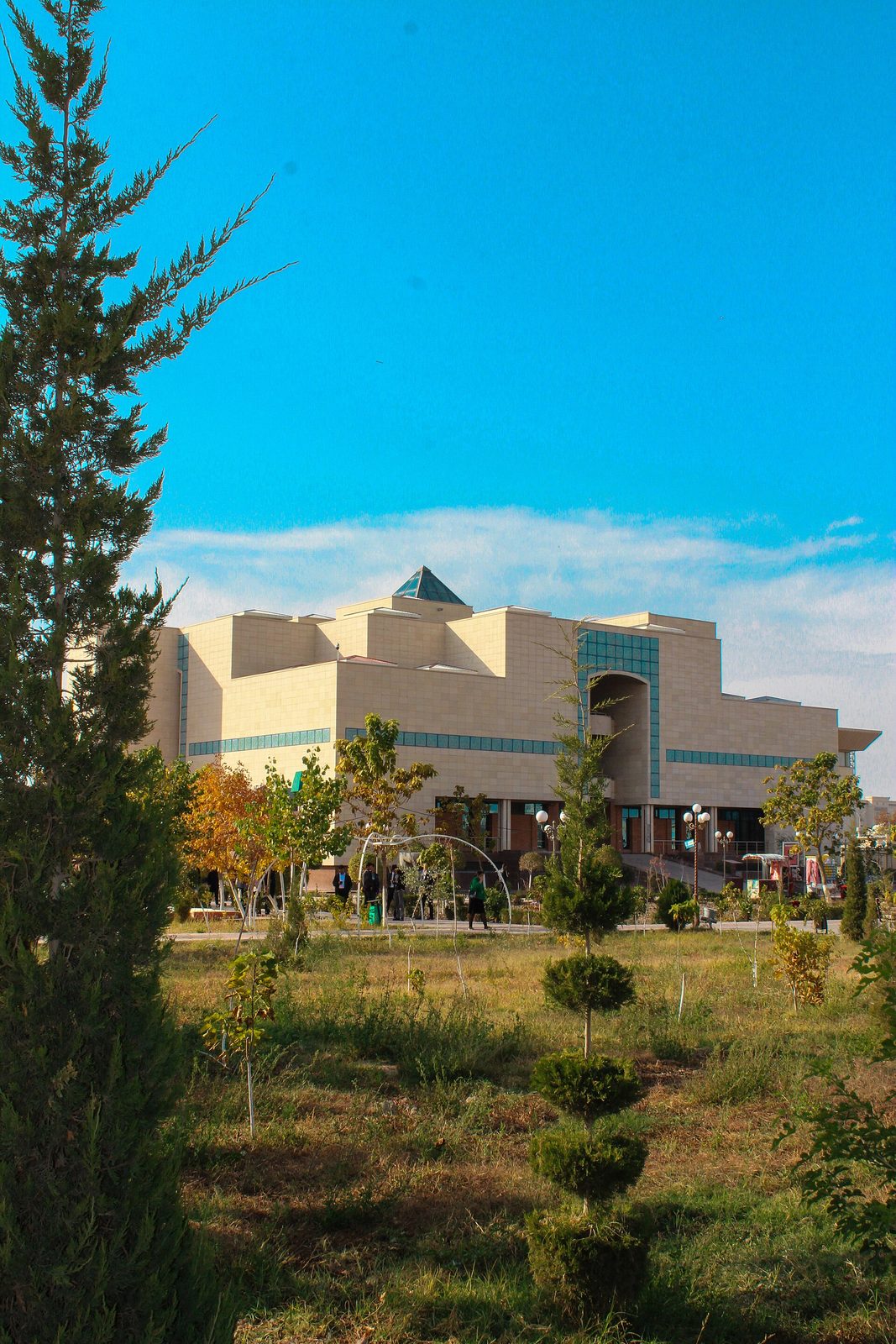
Nukus is a young city: it was officially founded in 1932 and now has about 350,000 people. Its wide streets were laid out in the 20th century, and most travellers come for one address. The State Museum of Art named after Did you know? A 2010 film tells how Savitsky gathered his collection A 2010 documentary follows Igor Savitsky as he sought out avant-garde painters whose works were not shown in museums in those years, met their families and brought thousands of works to Nukus. Ben Kingsley voices Savitsky. Read more → holds the Russian and Central Asian avant-garde, Karakalpak applied art and finds from ancient Khorezm. We have written a separate article about it: the Savitsky Museum in Nukus, with its history, its artists and the halls not to miss.
Two practical things to plan around. The museum is closed on Mondays, so do not arrive in Nukus on a Sunday evening for one day only. And give it at least half a day; the rest of the day goes to ,Did you know? Legend says Mizdakhan's little brick towers grant wishes Legend says that if you stack a column of seven bricks at the Mizdakhan necropolis near Nukus, your wish comes true; another tale says each column adds seven years to the life of the world. The hill site holds ruins from many centuries. Read more → just outside the city.
Mizdakhan and Chilpik: two hills near Nukus
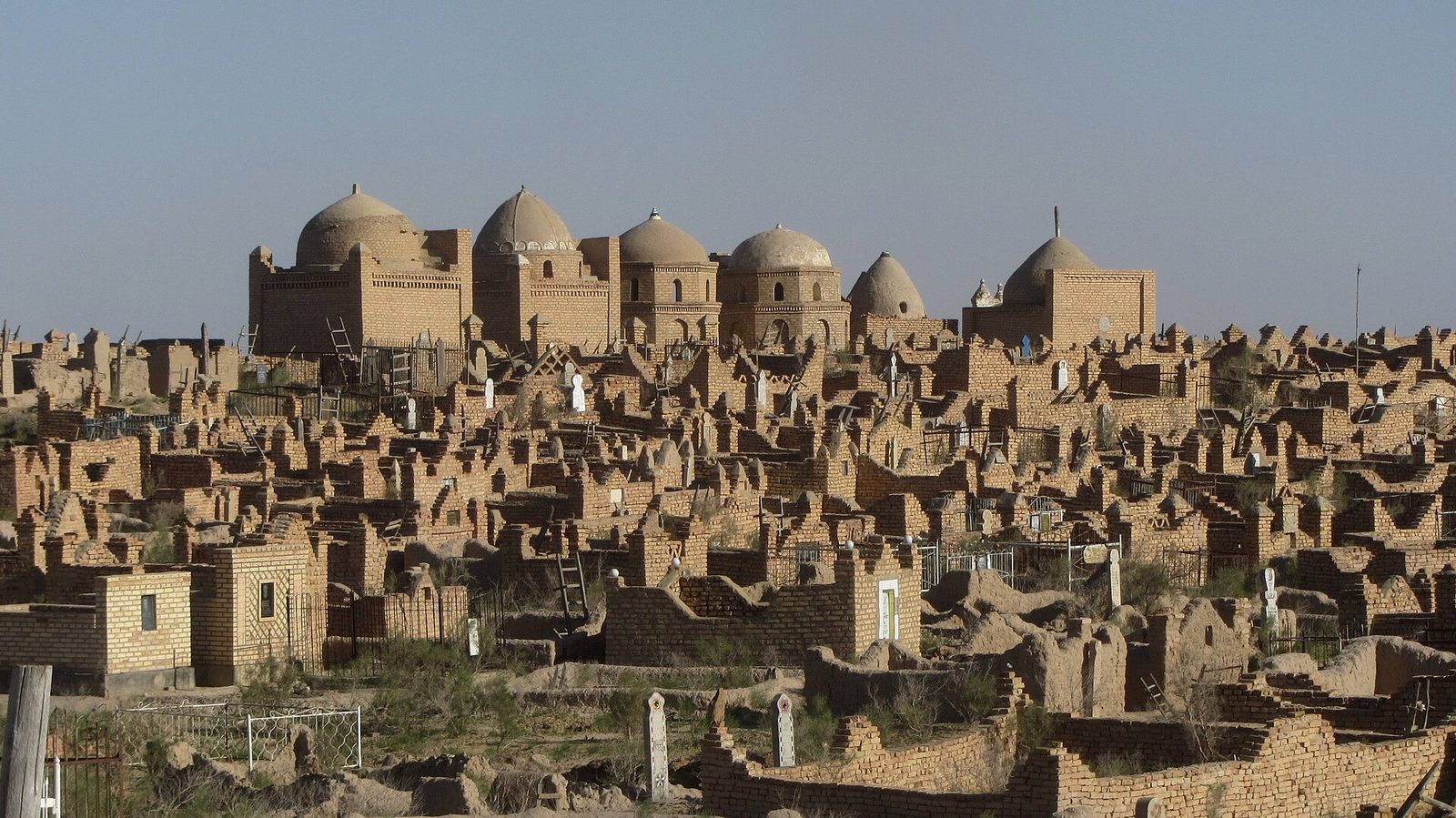
Mizdakhan stands on hills just west of the town of Khojeyli, about 40 minutes by car from Nukus. The site covers some 200 hectares. On one hill are the ruins of the Did you know? Shells from the Indian Ocean were found near Nukus Gyaur-Kala near Mizdakhan, a Khorezm fortress of the 4th century BC with walls about 10 m high, stood on a branch of the Silk Road. Finds there include coral beads, Indian Ocean shells and fabrics woven with gold thread. Read more → fortress, whose earliest walls go back to the 4th century BC; on the next is a necropolis where the last burials date to the 14th century. The city around it was destroyed in Amir Timur (Tamerlane, 1336–1405), founder of the Timurid empire, which had its capital in Samarkand. Born near Shahrisabz.’s campaigns against Khorezm and was never rebuilt, so the hills were left to the dead.
Go down into the underground mausoleum of ,Did you know? At Mizdakhan, a princess’s mausoleum goes underground The Mazlum-Khan Sulu mausoleum is half underground: steps lead down into tiled halls, and little more than the dome shows above the hill. “Sulu” means “beauty” in Karakalpak; who the princess was, history does not say. Read more → and walk among the domed tombs to the small columns of bricks that visitors stack along the paths. A local legend says that a brick falls from one of the old mausoleums every year, and when the last one falls the world will end; so people add bricks of their own and make a wish. Come in the late afternoon, when the light is low and the domes stand against the desert.
Chilpik is the other hill, about 43 km south of Nukus on the road to Turtkul. A ring of clay wall crowns a natural hill about 35 m high. It is a dakhma, a tower of silence more than two thousand years old, from the time before Islam, when the dead were laid out in the open. The climb takes a few minutes, and from the top you see the Amu Darya valley. It fits on the way between Nukus and the fortresses.
Muynak and the ship cemetery
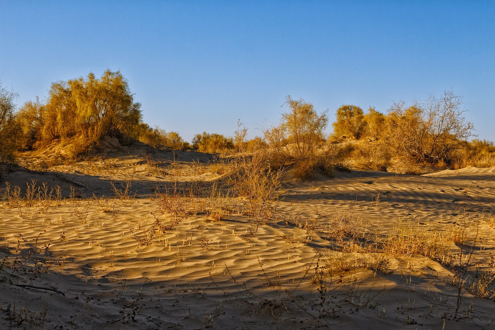
Muynak is about 200 km north of Nukus. Until the second half of the 20th century it was a port and a fishing town with a cannery. As the rivers that fed the Aral were drawn off for irrigation, the shore moved away, and the town was left standing in a new desert, the Aralkum, the former bed of the sea.
The rusting boats stand by the Aral Sea memorial at the north end of town, on the edge of what used to be the harbour. From the viewpoint above them you look out over the old seabed. The small town museum shows paintings and photographs of the years when Muynak still fished. Take your time with both: the ships tell the end of the story, the museum tells how it began.
The Aral Sea and the Ustyurt plateau
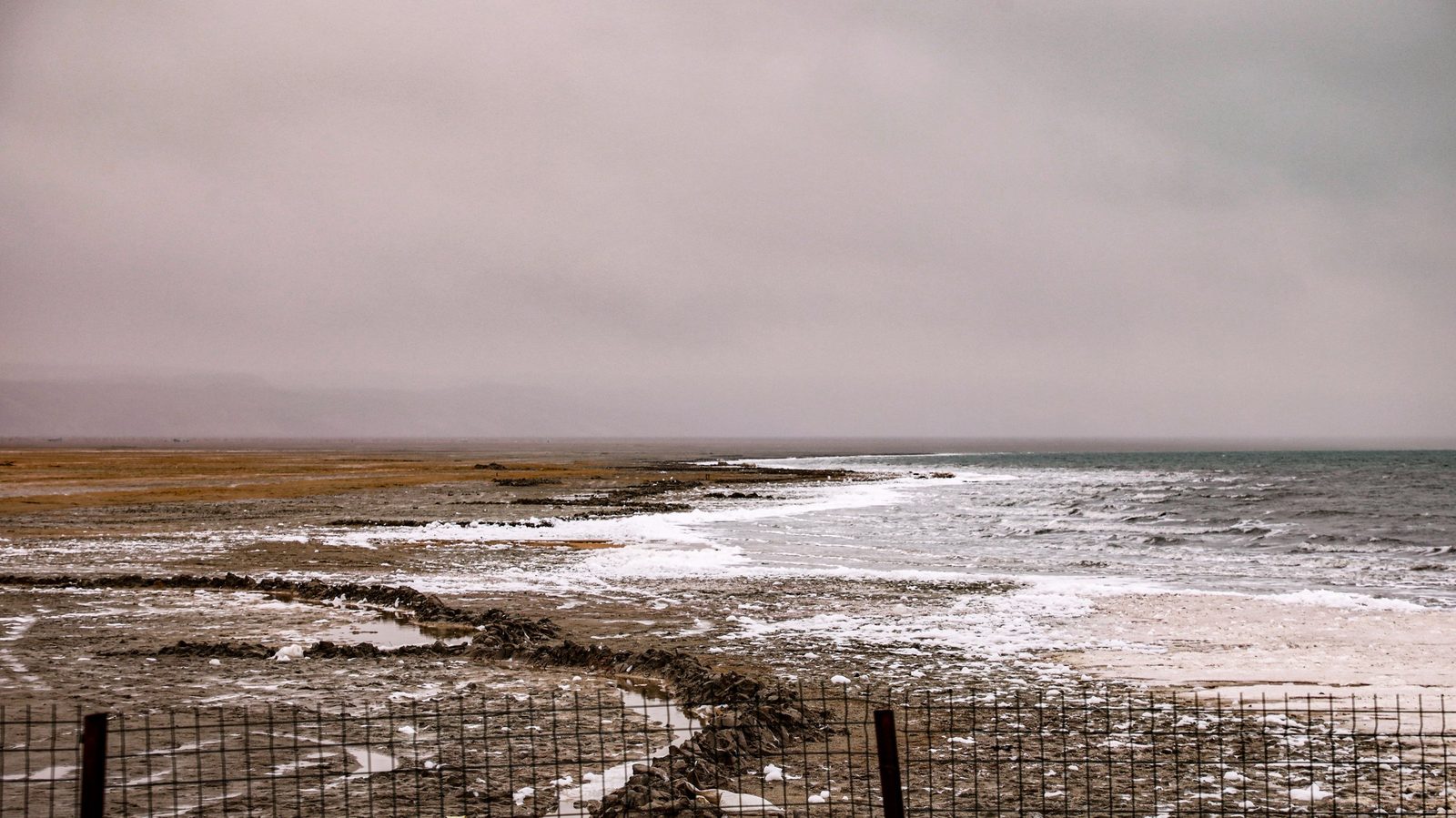
The water itself is still about 200 km beyond Muynak, across the Ustyurt plateau, and the last stretch is a jeep track along the edge of the plateau, past cliffs that fall to the old seabed. People do not go to the Aral to swim. They go to stand on a shore that has moved, in silence that is hard to find anywhere else.
How the sea shrank and what the trip is like we explain in the Aral Sea today. Our 2-day Aral Sea extension starts with a morning flight from Tashkent to Nukus, goes by 4×4 to Muynak and across the Ustyurt to a night in a camp by the water, and comes back through Sudochie Lake and Mizdakhan to the evening flight. It is built to be added to a longer route, and a guide in your language is included.
The desert fortresses of Ellikqala
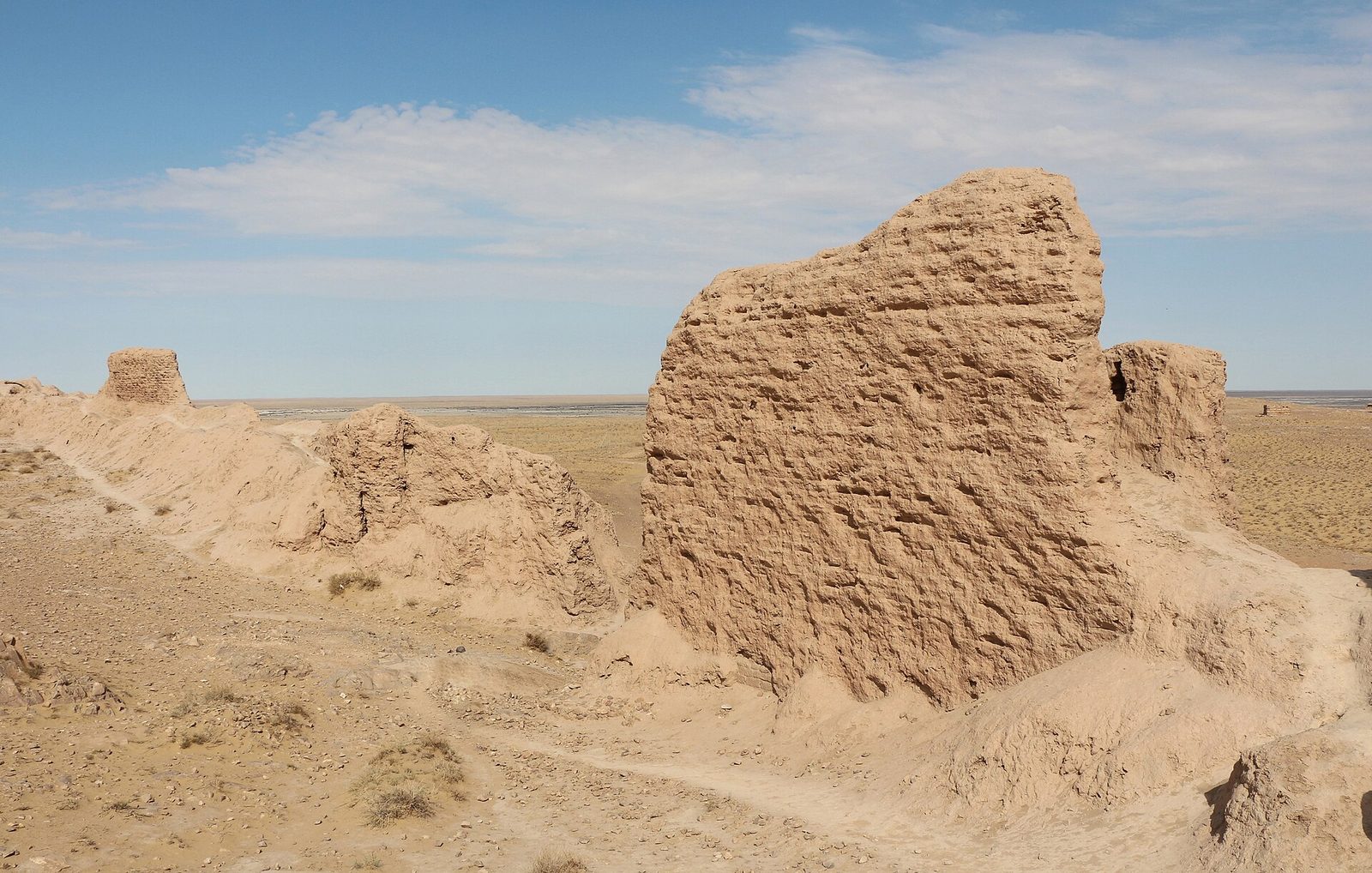
Across the Amu Darya from Khiva, on the edge of the Kyzylkum, stand the clay fortresses of ancient Khorezm. The area is called Ellikqala, “fifty fortresses”, and the district of Karakalpakstan still carries the name. ,Did you know? Legend says a shepherd named Ayaz built Ayaz-Kala for a bride Legend says a Khorezm king promised his daughter to whoever built an unassailable fortress; the shepherd Ayaz began, the king broke his word, and the walls stayed unfinished. In fact the oldest fort here dates to the 4th–3rd century BC. Read more → three fortresses on and below a hill, is the best known; its oldest walls date from the 4th–3rd century BC. Did you know? Toprak-Kala was the palace city of ancient Khorezm's kings In the 2nd–3rd century AD Toprak-Kala was the capital of Khorezm. From 1938 Sergey Tolstov's expedition uncovered its palace, with wall paintings, coins and archives; its sculptures are now in the Hermitage. Read more → was a capital of Khorezm in the 2nd–3rd century AD, and Did you know? Legend says a tunnel links Kyzyl-Kala and Toprak-Kala Legend says the small, almost square fortress of Kyzyl-Kala, the “Red Fortress”, is joined to neighbouring Toprak-Kala by an underground passage. No tunnel has been found yet; the fort itself was discovered by S. P. Tolstov’s expedition in 1938. Read more → stands right beside it. Since 2008 the “Desert Castles of Ancient Khorezm” have been on Uzbekistan’s tentative list for UNESCO World Heritage.
The fortresses lie between Khiva and Nukus, about 150 km from Nukus, so they work best on the road from one to the other. Each one, its legends and the yurt camp by Ayaz-Kala are in our guide to the desert fortresses of Khorezm. If you are staying in Khiva, book our trip to the Ayaz-Kala fortress.
Karakalpak food: sorghum, besh-barmak and dried melon
The cooking of the north-west is different from what you eat in Samarkand. Dough here is often made from jugara, sorghum. The best-known local dish, jugara gurtik, is sorghum dumplings cooked with meat, potatoes, carrots and onions; on 15 May 2026 it was registered as a geographical indication. Besh-barmak is made with dumplings of white sorghum flour boiled in meat broth.
Also look for mayek borek, pastry parcels filled with beaten egg and melted butter, and for melon, watermelon and pumpkin dried in the sun, which people here eat instead of sweets. More about the region’s dishes, next to those of the rest of the country, is in our guide to Uzbek food by city.
How to get there, when to go and how many days
- By air: direct flights from Tashkent to Nukus take about 1 h 40 min. Uzbekistan Airways flies every day, and Centrum Air on several days a week.
- By train: the overnight train 054 leaves Tashkent every day at 13:15 and reaches Nukus early the next morning, after about 16 hours, before going on to Kungrad. There are two-berth (SV) and four-berth (kupe) compartments. How to buy tickets is in trains in Uzbekistan.
- From Khiva: Nukus is about 200 km by road, and the fortresses are on the way. The neatest plan is to fly into Urgench for Khiva and fly home from Nukus, so you never drive the same road twice.
- When to go: April–May and September–October. Nukus is very dry, with about 104 mm of rain a year; in July the average high is 36.4 °C, and in January it is just under 1 °C.
- How many days: one day for Nukus and Mizdakhan; two more for Muynak and the Aral shore; one for the fortresses on the road to Khiva. Our 5-day tour Karakalpakstan and the desert fortresses of Khorezm joins two days in Khiva, the fortresses with a night in a yurt camp, the Did you know? A desert city keeps one of the great avant-garde collections The Savitsky Museum in Nukus holds tens of thousands of works and is often called the world’s second-largest collection of the Russian avant-garde, after the Russian Museum in St Petersburg. It also keeps Karakalpak crafts and finds from ancient Khorezm. Read more → and Mizdakhan, with a guide in your language. The price is on request.
Distances in the far west are long and the roads between sites are empty, so we plan these days with a car, a driver and a guide. While you are on the road, our office in Tashkent is in touch with you 24/7.
In short
- Karakalpakstan is the far north-west of Uzbekistan, more than a third of the country; the capital is Nukus.
- In Nukus: the Savitsky Museum (closed on Mondays) and, 40 minutes away, the hills of Mizdakhan.
- Muynak and its ships are about 200 km north of Nukus; the Aral shore is about 200 km further, by 4×4 across the Ustyurt.
- The fortresses of Ellikqala lie between Khiva and Nukus: see them on the road.
- Fly to Nukus in about 1 h 40 min or take the overnight train; go in spring or autumn and plan three to five days.
© Photos
- Ship cemetery, Muynak — Arian Zwegers / Wikimedia Commons · CC BY 2.0
- Mizdakhan necropolis near Nukus — Erik Albers / Wikimedia Commons · CC BY-SA 4.0
- Desert shrubs on the sands of the Aralkum, the former bed of the Aral Sea, at sunrise, Muynak district — NatalieChunina / Wikimedia Commons · CC BY-SA 4.0