
Places in this article: Samarkand · Tashkent · Tajikistan
Tajikistan travel guide: Khujand, Penjikent, the Fann Mountains and the Pamirs from Uzbekistan
Leave Samarkand in the morning, cross the border at Jartepa, and before lunch you can stand in a town that was already old when the pyramids of Giza were built. Did you know? Sarazm was a town before the pyramids of Giza were built Sarazm near Penjikent was settled from the 4th millennium BC and traded with lands from the Aral Sea to Iran and the Indus. In 2010 it became the first UNESCO World Heritage Site in Tajikistan. Read more → lies just across the line in Tajikistan, and after it the road climbs into mountains that cover more than nine tenths of the country.
We are a tour operator in Tashkent, and Tajikistan is the neighbour we add to Uzbek routes most often. This guide puts the country on one page for a trip from Uzbekistan: what to see, how to get in, which border posts to use, when to go and which of our tours already cross.
Tajikistan in brief
Tajikistan borders Uzbekistan to the west, and the two parts closest to it are the ones most travellers see first. In the north, Did you know? Khujand began as Alexander's 'Furthest Alexandria' In 329 BC Alexander the Great founded Alexandria Eschate, 'the Furthest', on the Syr Darya, at or near today's Khujand. It was the most northerly outpost of his empire in Central Asia, and Greek culture lingered there for centuries. Read more → sits at the mouth of the Fergana Valley, a short drive from Tashkent. In the west, Did you know? Penjikent's walls showed Rustam long before Ferdowsi From the 5th to the 8th century the Sogdian houses of ancient Penjikent were painted with feasts, gods and the hero Rustam, centuries before Ferdowsi wrote the Shahnameh. Many murals are now in the Hermitage and in Dushanbe. Read more → lies in the Zeravshan valley just beyond the border from Samarkand, at the gateway to the .Did you know? The Fann Mountains have about a hundred peaks The Fann Mountains, between the Zarafshan and Gissar ranges, have about a hundred peaks, eight of them over 5,000 m. The highest is Chimtarga (5,489 m), and among them lie the Kulikalon and Alauddin lakes and Iskanderkul. Read more → The capital, ,Did you know? Tajikistan’s capital is literally called “Monday” Dushanbe means “Monday” in Tajik — literally “the second day after Saturday”. By tradition, a lively market was held here every Monday. The first records of a village with this name date from the 17th–18th centuries. Read more → is about an hour from Tashkent by air.
The national language is Tajik, a form of Persian; Russian is widely used, and on our tours a guide in your language is included in the price. The currency is the somoni. People here are unhurried and welcoming, and in the mountain villages you will see how much a guest still means.
Penjikent and Sarazm
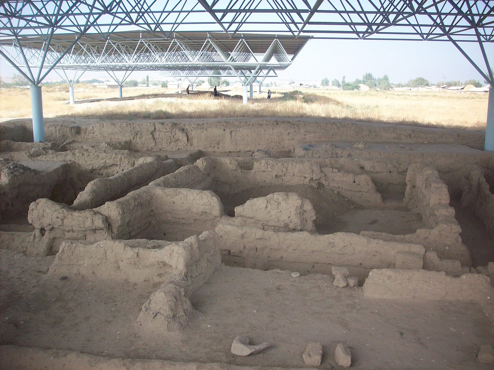
Sarazm is about 15 km west of Penjikent, close to the border. People lived here from the 4th millennium BC to the end of the 3rd, and since 2010 the site has been on the UNESCO World Heritage List. Excavations here have uncovered dwellings and a cult building; among the finds were the beads of a woman known as the Sarazm princess.
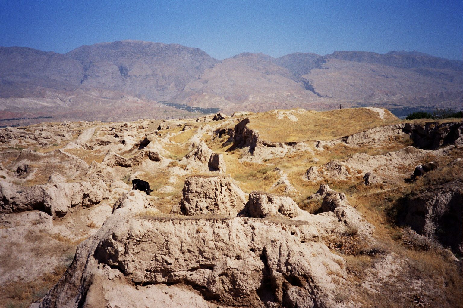
Ancient Penjikent stands on a terrace above the modern town. It was a Sogdian town that grew from the 5th century AD, and its houses were painted with murals until 722; the best of them are now in the Hermitage in St Petersburg and in the National Museum of Antiquities in Dushanbe. At the end of the 8th century the town on the terraces was abandoned. Walk the streets of the ruins, then see the finds in the Did you know? Legend says the first great Persian poet was born blind Legend, via the historian Awfi, says Rudaki (c. 858–941), honoured as the father of Tajik literature, was born blind. Scholars doubt it: his verses paint nature too vividly. He came from Panjrud, near Penjikent. Read more → museum in the new town, named after the poet of classical Persian literature.
Penjikent and the Did you know? Each of the Seven Lakes has its own name and colour The Haftkul lakes climb from about 1,600 m to 2,400 m. Their names mean 'eyelashes', 'shadow', 'vigilance' and 'small', among others; the largest is Marguzor, and the highest, Hazorchashma, means 'a thousand springs'. Read more → also fit into one day from Samarkand: that is our Penjikent and Seven Lakes extension. Other ideas for a day out of Samarkand are in day trips from Samarkand.
The Fann Mountains, the Seven Lakes and Iskanderkul
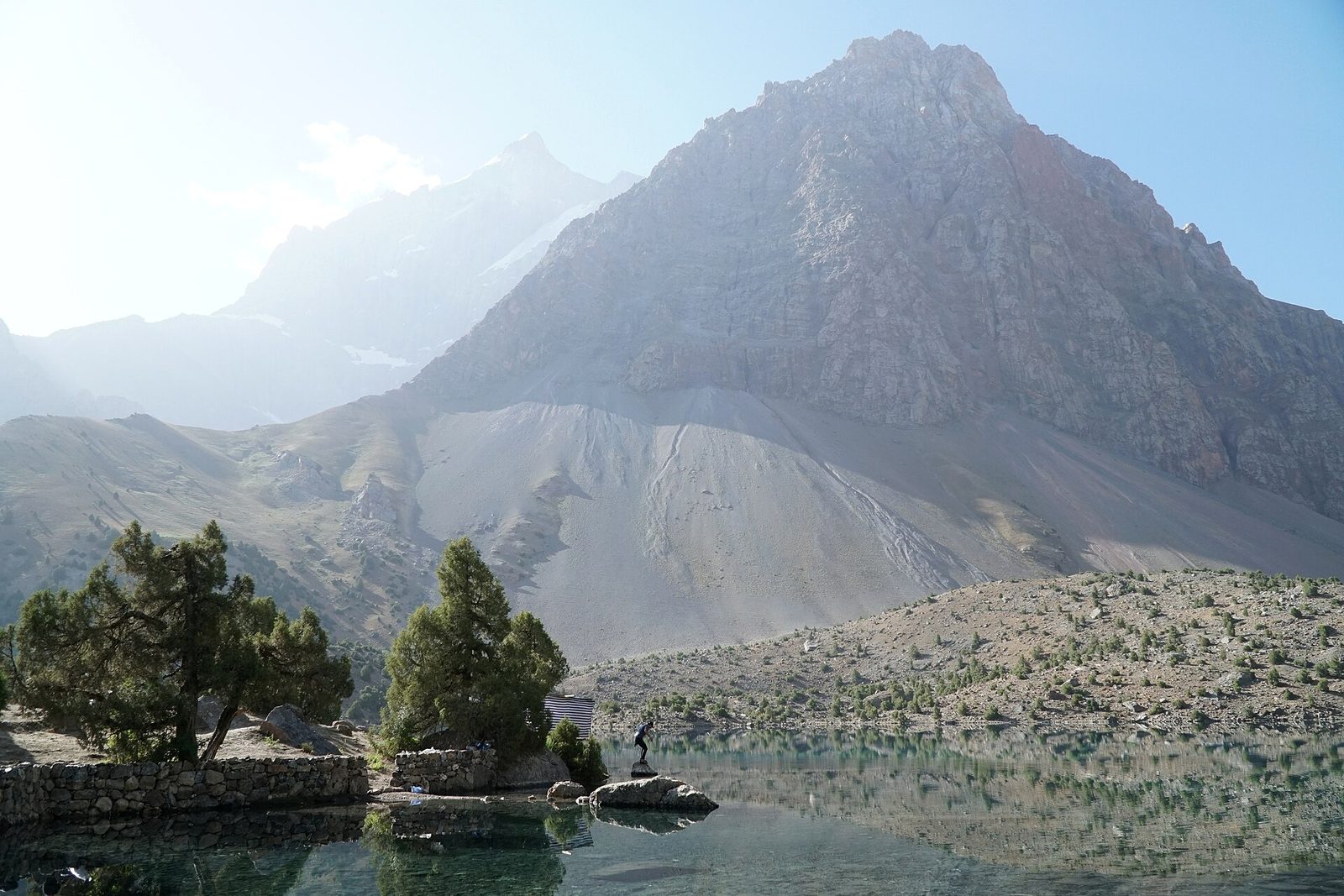
The Fann Mountains are a compact range of about a hundred peaks, several above 5,000 m; the highest, Chimtarga, reaches 5,489 m. They are the reason many people cross the border at all.
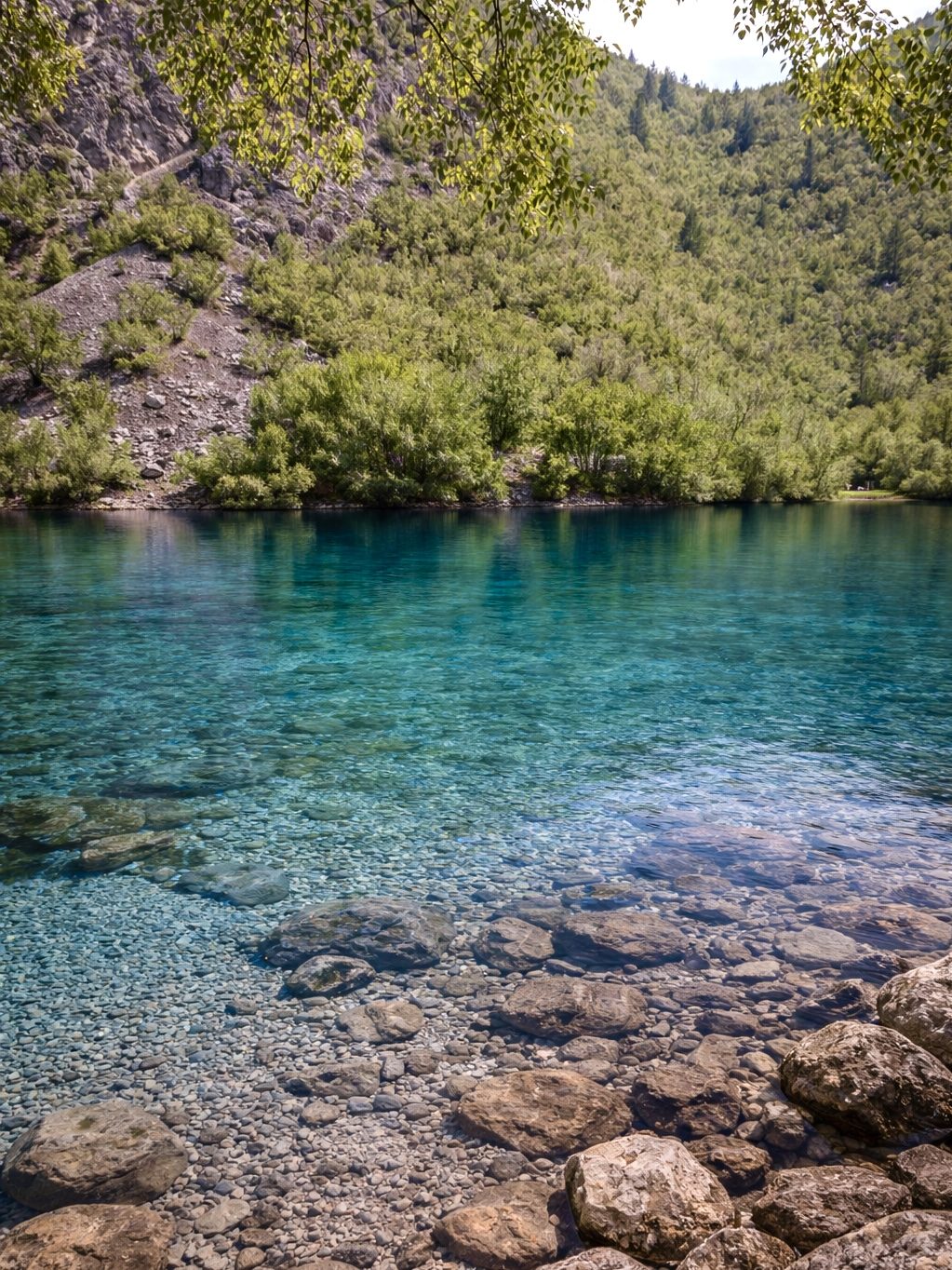
- The Seven Lakes (Haftkul) run up the Shing valley above Penjikent, one after another: Nejigon, Soya, Khushyor, Nofin, Khurdak, Did you know? Legend says the Marguzor lakes are seven sisters hidden by God Legend says seven sisters of the Marguzor valley fled from seven divs, the giants of folk tales, and God hid the girls by turning them into lakes and the divs into mountains. Geologists say landslides dammed the Shing gorge. Read more → and Hazorchashma, from turquoise to deep green. A jeep road climbs the valley past the lakes.
- Did you know? The Kulikalon lakes are fed by the Fanns’ highest peak The three Kulikalon lakes lie at about 2,800 m, 55 km south-east of Penjikent. Meltwater from the glacier of Chimtarga, at 5,489 m the highest peak of the Fann Mountains, fills them, and juniper woods and rare mountain birds live around them. Read more → is a basin of small lakes and meadows beneath the granite walls of Chimtarga and Mirali, reached on foot.
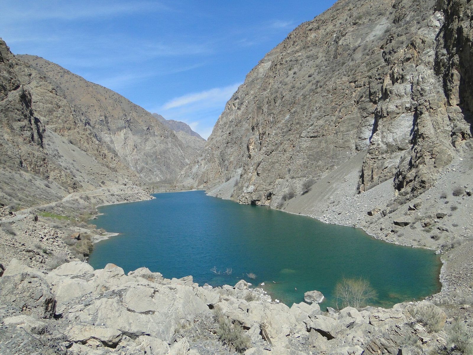
- Did you know? Legend says Alexander's horse still comes out of Iskanderkul Legend says Bucephalus plunged into the lake and on full-moon nights comes out to graze; another tells that Alexander turned a river onto a rebel village. In fact the lake, 2,195 m up and 72 m deep, was dammed by a landslide. Read more → lies at 2,195 m, covers 3.4 km² and is up to 72 m deep. Legends link it to Alexander the Great: in one he turned a river to flood a town that resisted him, in another his horse Bucephalus drowned in the lake. Nearby is the waterfall called the Fann Niagara, 38 m high.
For walking in the Fanns, look at our 12-day Tajikistan and Silk Road tour, with hiking days at the Seven Lakes, Kulikalon and Iskanderkul. To see all seven lakes without long walks, there is the 4-day Seven Lakes jeep expedition from Samarkand.
Khujand and Istaravshan
Khujand is the second-largest city of Tajikistan, on the Syr Darya where the Did you know? Legend says Fergana's 'heavenly horses' sweated blood Legend says the horses of Dayuan, as Chinese chronicles called Fergana, sweated blood, and around 102 BC Emperor Wu of Han sent an army to bring some home. The 'blood' was most likely a skin parasite that causes tiny bleeding spots. Read more → opens out. Alexander the Great founded a settlement here in 329 BC and called it Alexandria Eschate, “the furthest”. The fortress above the river holds the regional history museum, and across the main square from the Did you know? Khujand’s great bazaar is called “Thursday” Panjshanbe means “Thursday” in Tajik: it was Khujand’s market day, just as Dushanbe, “Monday”, took its name from its own. The elegant covered hall dates from 1964; inside, long arched halls are lined with columns. Read more → bazaar, one of the largest covered markets in Central Asia, stands the mausoleum of Sheikh Muslihiddin.
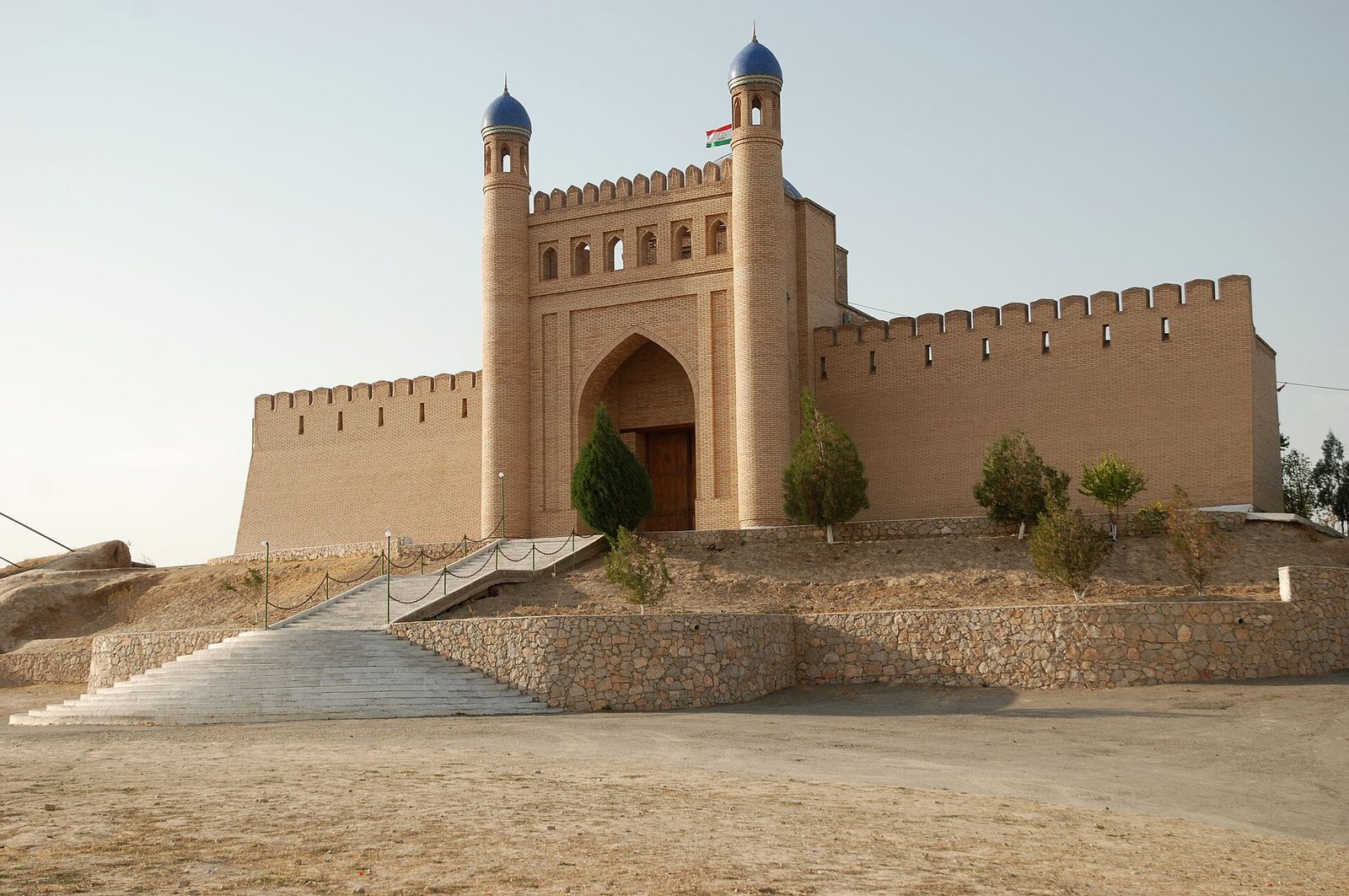
On the road between Khujand and the Fann Mountains, Did you know? Legend says Istaravshan was founded by Cyrus the Great By tradition Istaravshan is the Cyropolis of ancient authors, a frontier town founded by the Persian king Cyrus. The date is symbolic, but in 2002 the city celebrated its 2,500th birthday and built a blue-domed gate at Mug-Teppa. Read more → is one of the oldest towns of the region, with the Mug Teppe fortress hill and the blue dome of the Kok Gumbaz complex. From the Oybek crossing, Tashkent is about two hours by car, so Khujand and Istaravshan make an easy end or start to a route through the Fergana Valley; see our Fergana Valley guide.
Dushanbe
The capital takes its name from a bazaar: dushanbe means “Monday”, the day the village market met. Today it is a city of more than a million people at about 823 m, with Rudaki Park in the centre, the National Museum and the National Museum of Antiquities, where some of the Penjikent murals are kept. Outside the city is the Hisor fortress. From Iskanderkul the road reaches Dushanbe through the Anzob tunnel, which is why our 12-day Fann Mountains route ends here and you fly home from Dushanbe.
The Pamirs and the GBAO permit
The Did you know? Why the Pamirs are called the Roof of the World Since the 19th century the Pamirs have been known as the Roof of the World, probably a translation of a Persian name. Here rises Ismoil Somoni Peak, 7,495 m, the highest point of Tajikistan. Read more → fill the east of the country, the Gorno-Badakhshan Autonomous Region (GBAO). The Did you know? The Pamir Highway climbs to 4,655 m The Pamir Highway, about 1,250 km long, is known as the second-highest international road in the world. Its top is the Ak-Baital pass at 4,655 m. Most of it was built in the 1930s, and the Osh–Khorog section was finished in 1937. Read more → runs about 1,252 km from Dushanbe through Khorog and Murghab to Osh in Kyrgyzstan, and crosses the Ak-Baital pass at 4,655 m. The Tajik National Park, the Mountains of the Pamirs, has been a World Heritage Site since 2013; within it lies the Fedchenko Glacier, the longest valley glacier outside the polar regions.
For the Pamirs you need a special GBAO permit on top of your Entry rules depend on your passport. Once you are here, each stay must be registered within three days, and hotels do it for you; customs and registration rules are in our guide. Read more → or visa-free entry. It can be requested together with the e-visa or through a Tajik embassy; inside Tajikistan it can take up to three weeks. Permits are sometimes paused at short notice, so we confirm them before the trip. The Pamirs are a long journey of their own, at high altitude, and we plan them individually; health and evacuation cover matter here more than anywhere, see travel insurance for Uzbekistan.
Visas and entry
Tajikistan’s rules depend on your passport, so check yours first. As of October 2026:
- Citizens of the EU, the USA, Japan, South Korea, Brazil and a number of other countries enter visa-free for up to 30 days.
- Other passports, the British among them, need a visa, usually an e-visa issued online for up to 60 days. Allow at least two weeks for it. Visas are not issued at land borders, but an e-visa holder can enter by land from Uzbekistan.
- Your passport must be valid for at least six months after arrival.
- If you enter visa-free and stay longer than ten days, you must register with the migration office; an e-visa does not need registration.
Do not forget the way back. If your Uzbek entry needs an e-visa and you plan to return to Uzbekistan, apply for a double- or multiple-entry one; the rules are in do you need a visa for Uzbekistan. Before we book, we check every passport in the group against both countries’ current rules.
Crossing the border from Uzbekistan
These are the crossings we use with travellers:
| Route | Crossing | Good for |
|---|---|---|
| Samarkand → Penjikent | Jartepa–Sarazm | Sarazm, Penjikent, the Seven Lakes, Iskanderkul |
| Tashkent → Khujand | Oybek–Fotekhobod | Khujand, Istaravshan, the Fergana Valley |
| Tashkent → Dushanbe | Flight, about 1 hour | Dushanbe, the end of a long route |
At both road crossings you walk between the Uzbek and the Tajik posts with your luggage, roughly a kilometre, and change cars on the other side. We plan nothing tight on a crossing day. On our tours, our team meets you at the Tajik post, so you do not have to look for a driver.
When to go
Two seasons, depending on what you come for. The towns, Penjikent, Khujand and Istaravshan, are at their best in spring and autumn, like Samarkand next door: in Khujand the average high is about 22°C in April and 21°C in October, but almost 36°C in July. The mountains open in summer: trekking in the Fann Mountains runs from late June to mid-September, and the Pamirs are a summer trip too.
So June and September suit a route that combines the Uzbek cities with the Fann Mountains: in June we do the cities first, before the heat; in September we go to the mountains first, before the cold.
Tajikistan: tours that cross the border
These of our routes already include Tajikistan:
- The 5-day Mystic Asia tour: from Samarkand through Jartepa to Penjikent, Sarazm and the Seven Lakes, then Iskanderkul, Istaravshan and Khujand, and back to Tashkent through Oybek.
- The 12-day Tajikistan and Silk Road tour: Bukhara and Samarkand, then the Fann Mountains with hiking days, Rudaki’s mausoleum at Panjrud, and Dushanbe.
- The 4-day Seven Lakes jeep expedition to the seventh lake and back to Samarkand.
- The one-day Penjikent and Seven Lakes extension to add to any route through Samarkand.
- The 23-day Silk Road tour through all five Central Asian countries.
How Tajikistan fits with Kyrgyzstan and Kazakhstan, with sample itineraries of 14 to 21 days, is in our article on Central Asia tours from Uzbekistan. For your own dates and pace, start with the tour finder.
In short
- From Samarkand, Jartepa leads to Sarazm, Penjikent and the Fann Mountains; from Tashkent, Oybek leads to Khujand.
- Must-sees: Sarazm (UNESCO), ancient Penjikent, the Seven Lakes, Iskanderkul, Khujand; Dushanbe at the end of a longer route.
- EU, US, Japanese, Korean and Brazilian passports enter visa-free for 30 days; others need an e-visa, and the Pamirs need a GBAO permit.
- Towns in spring and autumn, the mountains from late June to mid-September; June and September suit both.
© Photos
- The third of the Seven Lakes (Haftkul), Fann Mountains, Tajikistan — Шухрат Саъдиев / Wikimedia Commons · CC BY-SA 4.0
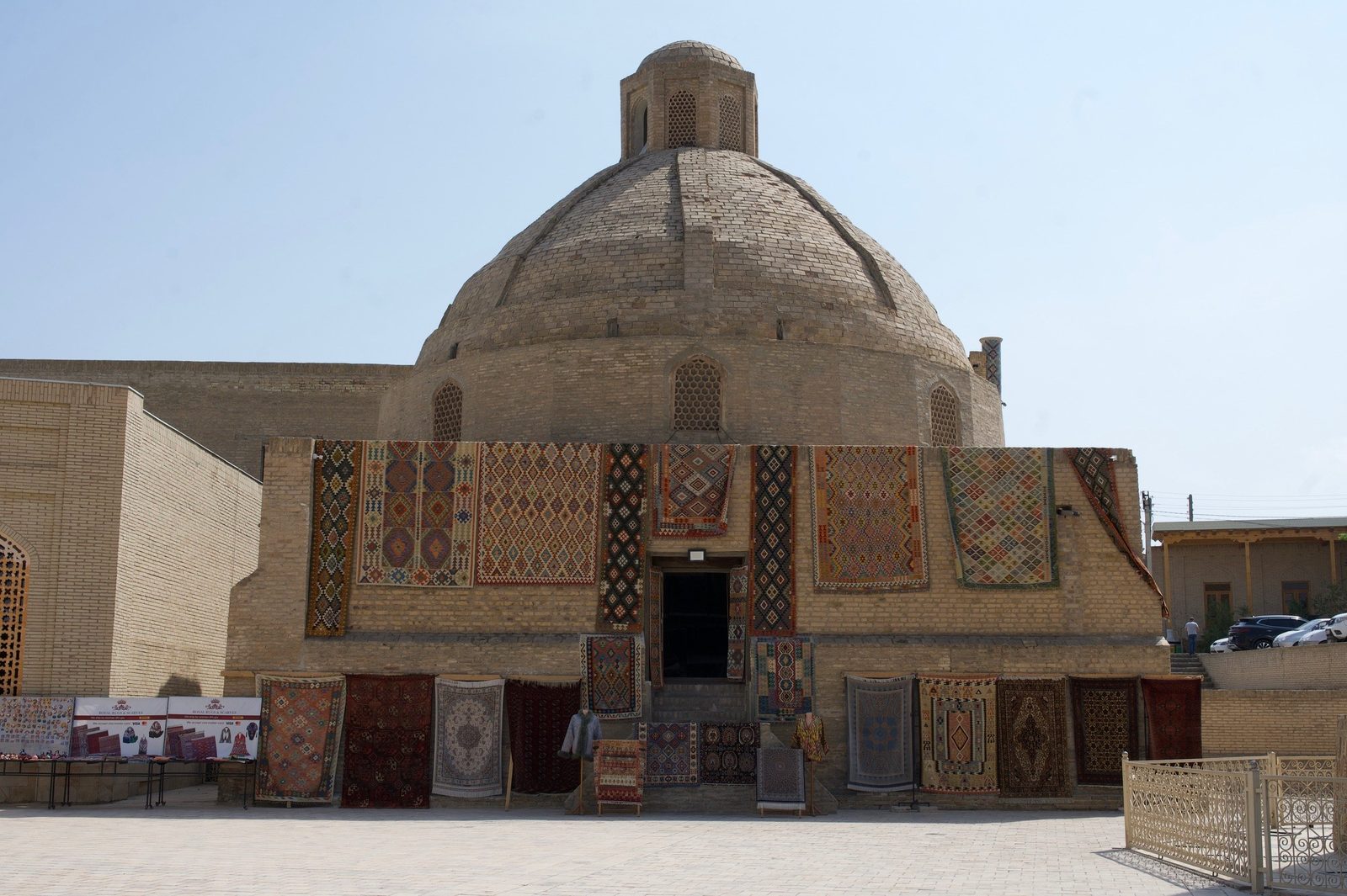
- Ruins of ancient Penjikent and the Zarafshan mountains, Tajikistan — upyernoz from Haverford, USA / Wikimedia Commons · CC BY 2.0
- Iskanderkul lake and the Fann Mountains, Tajikistan — Adam Harangozó / Wikimedia Commons · CC BY-SA 4.0
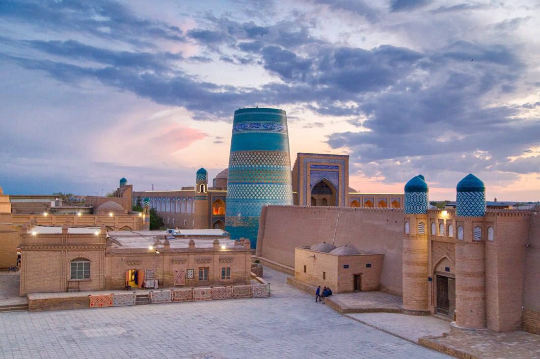
- The Mug Teppe fortress, Istaravshan, Tajikistan — Bertramz / Wikimedia Commons · CC BY-SA 3.0
- Excavations at Sarazm near Penjikent, Tajikistan — Zack Knowles / Wikimedia Commons · CC BY-SA 3.0